Indonésie 印度尼西亚 => Pays de Beau Bois
Indonésie 印度尼西亚 => Pays de Beau Bois
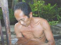 Les artisans |
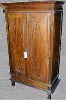
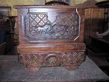 Sélection des meubles indonésiens |
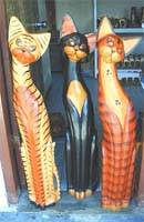 Les objets |
 Histoire des meubles indonésiens |
Indonésie 印度尼西亚 => Pays de Beau Bois
Mise à jour 2023-11-09 09:24:11
L'Indonésie est un pays situé en Asie dont la capitale est Jakarta. La hiérarchie des divisions administratives est la suivante : L'Indonésie est subdivisée en provinces, qui se divisent à leur tour en régences (kabupaten), villes (kota), qui se divisent à leur tour en districts, qui se divisent à leur tour en bourgades, villages.
Les noms des pays/territoires du monde sont donnés en Français et Chinois. Cette collection des précieuses terres fermes du monde que toute l'humanité partage inclut non seulement les pays indépendants, mais aussi des régions spécifiques qui ne sont pas membre de l'ONUOrganisation des Nations Unies: Nous, peuples des Nations Unies ... Une ONU plus forte pour un monde meilleur. Veuillez aussi consulter les noms des pays en masculin et féminin en Français.
1
2
3

4
5
6
7
8
9
10
11
12
13

14
15
16
17
18
19
20

21
22
23
24

25
26
27
28
29
30
31
32

33
34
35

36
37
38
39
40
41
42
43

44
45
46
47
48
49
50

51
52
53
54
55
56
57
58
59
60
61
62
63
64
65
66