Pays/Territoires
Mise à jour 2021-01-12 18:58:07
Les noms des pays/territoires du monde sont donnés en Français et Chinois. Cette collection des précieuses terres fermes du monde que toute l'humanité partage inclut non seulement les pays indépendants, mais aussi des régions spécifiques qui ne sont pas membre de l'ONUOrganisation des Nations Unies: Nous, peuples des Nations Unies ... Une ONU plus forte pour un monde meilleur. Veuillez aussi consulter les noms des pays en masculin et féminin en Français.
GéoPays Fermer
31
id
Pays
Pays en Anglais
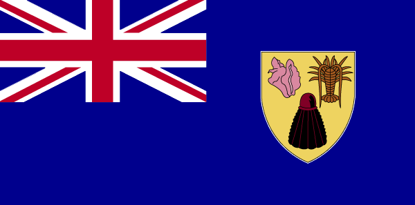
Turks and Caicos Islands
Pays
Turks et Caicos (îles)
countryucasefr
TURKS ET CAICOS (ILES)
Pays en Chinois
Pays en Espagnol
Turcos e islas de Caicos
Pays en Italien
Turchi ed isole del Caicos
Pays en Portugais
Turks e consoles de Caicos
Pays en Allemand
Türken und Caicosinseln
countryfull
Turks and Caicos Islands
countrynm
Turks and Caicos Islands
ISO2
TC
ISO3
TCA
countrycodeisono
796
countrycodeirs
TK
countrycodeirsfr
TK
countrycodeirsmixt
TK
♀Féminin
12
6
51
6
currency
dollar
currencyfr
dollar des Caraïbes orientales
currencyisocode
USD
currencyisocodefull
USD 840
currencypxcode
USD
currencysymbol
$
currencysubdivision
100 cents
currencyregime
float
currencyvalue
1
Capitale
Grand Turk
capitalfr
Grand Turk
Préfixe Tél.
1-649
Superficie km2
430
arealand
430
landarablerate
0.0233
coastline
389
timezonedeltabegin
-5
flaglink
maplink
tccolor.gif
outlinemaplink
tc.gif
visapassenger
-1
largestcity
Grand Turk
rankpopulation
217
Population
17 502
rankgni
208
gni
120000000
rankincomeorigin
67
rankincome
71
income
7059
nationalevent
Constitution Day
nationaleventfr
Jour de la Constitution
nationalholiday
30 August (1976)
Date de naissance aaaa-mm-jj
1976-08-30 00:00:00
3
5
location
Caribbean, two island groups in the North Atlantic Ocean, southeast of The Bahamas, north of Haiti
terrain
low, flat limestone; extensive marshes and mangrove swamps
naturalresources
spiny lobster, conch
9
rgbback
16777215
todate
1
32
id
Pays
Pays en Anglais
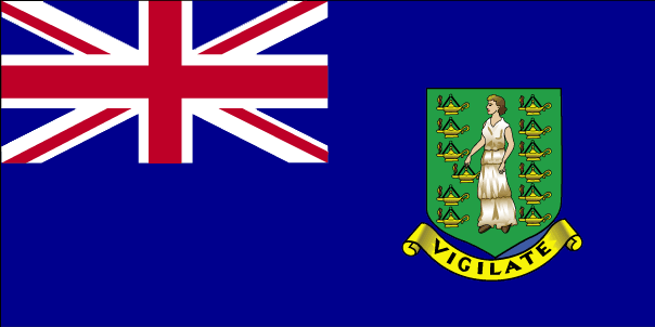
Virgin Islands (UK)
Pays
Vierges/Britanniques (îles)
countryucasefr
VIERGES/BRITANNIQUES (ILES)
Pays en Chinois
Pays en Espagnol
Islas De la Virgen (Británicas)
Pays en Italien
Le Isole Vergini (Britanniche)
Pays en Portugais
Consoles Do Virgin (Britânicos)
Pays en Allemand
JungfraucInseln (Britisch)
countryfull
British Virgin Islands
countrynm
British Virgin Islands
ISO2
VG
ISO3
VGB
countrycodeisono
092
countrycodevehicle
BVI
countrycodeolympic
IVB
countrycodeirs
VI
countrycodeirsfr
VI
countrycodeirsmixt
VI
♀Féminin
12
6
51
22
currency
pound
currencyisocode
GBP
currencyisocodefull
GBP 826
currencypxcode
GBP
currencysymbol
£
currencysubdivision
100 pence
currencyregime
float
currencyvalue
1.8091
Capitale
Road Town
capitalfr
Road Town
Préfixe Tél.
1-284
Superficie km2
153
arealand
153
landarablerate
0.2
landforestrate
0.2
coastline
80
timezonedeltabegin
-4
flaglink
maplink
vgcolor.gif
outlinemaplink
vg.gif
visapassenger
-1
largestcity
Road Town
rankpopulation
215
Population
20 353
rankgni
196
gni
270000000
rankincomeorigin
42
rankincome
42
income
13500
nationalevent
Territory Day
nationaleventfr
Jour du Territoire
nationalholiday
1 July
Date de naissance aaaa-mm-jj
2000-07-01 00:00:00
7
5
president
Reine Elizabeth II
location
Caribbean, between the Caribbean Sea and the North Atlantic Ocean, east of Puerto Rico
terrain
coral islands relatively flat; volcanic islands steep, hilly
naturalresources
NEGL
cooking
The British Virgin Islands are a group of over 50 islands and Cays located in the northeast Caribbean. They include Tortola, Virgin Gorda, Anegada, Jost Van Dyke, Great Camanoe, Guana Island, Peter Island, Salt Island, Beef Island, Cooper Island, Ginger Island, Norman Island, and many other small islands all clustered around Sir Francis Drake Channel. The Caribbean or the West Indies is a group of islands in the Caribbean Sea. ... Tortola is the largest and most populated of the British Virgin Islands. ... Huge boulders litter the beach at The Baths Virgin Gorda is the second-largest of the British Virgin Islands. ... Unlike the other British Virgin Islands, Anegada is a flat atoll. ... At roughly 8 square kilometers, Jost Van Dyke is the smallest of the four main islands of the British Virgin Islands, the northern portion of the archipelago of the Virgin Islands, located in the Atlantic Ocean and Caribbean Sea. ... Great Camanoe is a small island located just north of Beef Island and northeast of Tortola in the British Virgin Islands, a group of islands which forms part of the archipelago of the Virgin Islands, located in the Atlantic Ocean and Caribbean Sea. ... Norman Island is located at the southern tip of the British Virgin Islands archipelago. ...
9
rgbback
16777215
todate
1
33
id
Pays
Pays en Anglais
Wake Island
Pays
Ile Wake
countryucasefr
ILE WAKE
Pays en Chinois
Pays en Espagnol
Isla De la Estela
Pays en Italien
Isola Di Risveglio
Pays en Portugais
Console Da Vigília
Pays en Allemand
SpurcInsel
countryfull
Wake Island
countrynm
Wake Island
ISO2
UMI1
ISO3
UMI1
countrycodeisono
581
countrycodeirs
WQ
countrycodeirsfr
WQ
countrycodeirsmixt
WQ
♀Féminin
17
7
57
6
currency
dollar
currencyisocode
USD
currencyisocodefull
USD 840
currencypxcode
USD
currencysymbol
$
currencysubdivision
100 cents
currencyregime
float
currencyvalue
1
Superficie km2
6,50
arealand
6,50
coastline
19.3
timezonedeltabegin
12
flaglink
maplink
wake.gif
visapassenger
-1
rankincome
222
location
Oceania, atoll in the North Pacific Ocean, about two-thirds of the way from Hawaii to the Northern Mariana Islands
terrain
atoll of three coral islands built up on an underwater volcano; central lagoon is former crater, islands are part of the rim
naturalresources
none
cooking
Oceania, atoll in the North Pacific Ocean, about two-thirds of the way from Hawaii to the Northern Mariana Islands
9
rgbback
16777215
todate
1
34
id
Pays
Pays en Anglais
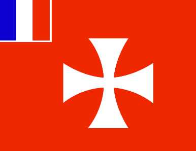
Wallis and Futuna
Pays
Wallis et Futuna
countryucasefr
WALLIS ET FUTUNA
Pays en Chinois
Pays en Espagnol
Wallis y Futuna
Pays en Italien
Wallis e Futuna
Pays en Portugais
Wallis e Futuna
Pays en Allemand
Wallis und Futuna
countryfull
Wallis and Futuna
countrynm
Wallis and Futuna
ISO2
WF
ISO3
WLF
countrycodeisono
876
countrycodeirs
WF
countrycodeirsfr
WF
countrycodeirsmixt
WF
♂Masulin
15
6
57
2
currency
franc
currencyisocode
XPF
currencyisocodefull
XPF 953
currencypxcode
XPF
currencysubdivision
100 centimes
currencyregime
Euro (119.253)
currencyvalue
0.01025
Capitale
Mata-Utu
capitalfr
Mata-Utu
Préfixe Tél.
681
Superficie km2
274
arealand
274
landarablerate
0.05
coastline
129
timezonedeltabegin
12
flaglink
maplink
wallisf.gif
outlinemaplink
wf.gif
visapassenger
-1
largestcity
Mata-Utu
rankpopulation
218
Population
15 283
rankgni
211
gni
60000000
rankincomeorigin
87
rankincome
90
income
4000
nationalevent
Bastille Day
nationaleventfr
Jour de la prise de la Bastille
nationalholiday
14 July (1789)
Date de naissance aaaa-mm-jj
1789-07-14 00:00:00
6
10
location
Oceania, islands in the South Pacific Ocean, about two-thirds of the way from Hawaii to New Zealand
terrain
volcanic origin; low hills
naturalresources
NEGL
9
rgbback
16777215
todate
1
35
id
Pays
Pays en Anglais
Jarvis Island
Pays
Ile Jarvis
countryucasefr
ILE JARVIS
Pays en Chinois
countryfull
Jarvis Island
countrynm
Jarvis Island
ISO2
UMI2
ISO3
UMI2
countrycodeisono
581
countrycodeirs
UM
countrycodeirsfr
UM
countrycodeirsmixt
JAR
♀Féminin
17
7
51
languagesfr
Anglais
22
currencypxcode
USD
nationalityfr
Américaine
Capitale
Millersville
capitalfr
Millersville
Superficie km2
4,50
arealand
4,50
coastline
8
timezonedeltabegin
-11
flaglink
maplink
dq-map.gif
largestcity
Millersville
rankincome
222
location
Oceania, island in the South Pacific Ocean, about half way between Hawaii and the Cook Islands
terrain
sandy, coral island surrounded by a narrow fringing reef
naturalresources
guano (deposits worked until late 1800s), terrestr
9
rgbback
16777215
todate
1
36
id
Pays
Pays en Anglais
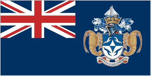
Tristan da Cunha Island
Pays
Tristan da Cunha
countryucasefr
TRISTAN DA CUNHA
Pays en Chinois
countryfull
Tristan da Cunha Island
countrynm
Tristan da Cunha Island
ISO2
TDC
ISO3
TDC
countrycodeisono
654
countrycodeirs
SH
countrycodeirsfr
SH
countrycodeirsmixt
TDC
♂Masulin
12
8
51
languagesfr
Anglais
22
currency
Livre Sterling
currencyfr
Livre Sterling
Capitale
Edingburgh
capitalfr
Edingburgh
Préfixe Tél.
290
Superficie km2
65
arealand
65
flaglink
maplink
tristandc.gif
largestcity
Edingburgh
Population
310
rankincome
222
location
Îles situées dans lOcéan Atlantique Sud comprenant lÎle Tristan da Cunha (Tristan da Cunha Island), lÎle Gough (Gough Island), lÎle Inaccessible (Inaccessible Island) et lÎle Nightingale (Nightingale Island).
9
rgbback
16777215
todate
1
Notes
Belongs to Saint Helena
| Pays/Territoires | Régions en Chine | Provinces de Chine | Régions en France | Départements de France | Provinces du Monde | Villes/Villages | Localités | Continents du Monde | Vins AOP
