id
Pays
Pays en Anglais
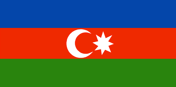
Azerbaijan
Pays
Azerbaïdjan
countryucasefr
AZERBAIDJAN
Pays en Chinois
Pays en Espagnol
Azerbaijan
Pays en Italien
L'Azerbaijan
Pays en Portugais
Azerbaijan
Pays en Allemand
Azerbaijan
countrypy
a1 sai4 bai4 jiang1
countrylocal
Azarbaycan
countryfull
Azerbaijan
countrynm
Azerbaijan
ISO2
AZ
ISO3
AZE
countrycodeisono
031
countrycodevehicle
AZ
countrycodeolympic
AZE
countrycodeirs
AJ
countrycodeirsfr
AJ
countrycodeirsmixt
AJ
♂Masulin
15
4
178
languagesfr
Azerbaïdjanais
127
currency
manat
currencyfr
rouble
currencyisocode
AZM
currencyisocodefull
AZM 031
currencypxcode
AZM
currencysubdivision
100 gopik
nationalityfr
Azerbaïjanaise
Capitale
Baku
capitalfr
Bakou
Préfixe Tél.
994
Superficie km2
86 600
arealand
86 100
areawater
500
landarablerate
0.1931
landforestrate
0.131
summit
Bazarduzu Dagi 4 485 m.
boundarycountries
Arménie, Géorgie, Russie, Iran, Turquie.
timezonedeltabegin
4
flaglink
maplink
aj-map.gif
outlinemaplink
ajout.gif
visapassenger
-1
maincities
Gyandzha, Stepanakert, Sumgait, Sheki, Mingechaur, Nakhichevan, Lenkoran.
largestcity
Baku
largestcitypopulation
1 848 000
rankpopulation
86
Population
8 233 000
rankgdp
102
gdp
7138000000
rankgdpppp
85
gdpppp
29782000000
rankgni
104
gni
6713000000
rankincomeorigin
145
rankincome
158
income
820
rankincomeppp
139
incomeppp
3390
lifeexpectation
63.25
alphabetizationrate
0.621
natalityrate
0.01981
mortalityrate
0.00976
mortalityrateinfantile
0.08207
hdi
0.744
urbanization
0.518
precipitation
210
nationalevent
Founding of the Democratic Republic of Azerbaidzhan
nationaleventfr
Création de la République Démocratique d'Azerbaïdjan
nationalholiday
28 May (1918)
Date de naissance aaaa-mm-jj
1918-05-28 00:00:00
5
7
location
Southwestern Asia, bordering the Caspian Sea, between Iran and Russia, with a small European portion north of the Caucasus range
terrain
large, flat Kur-Araz Ovaligi (Kura-Araks Lowland) (much of it below sea level) with Great Caucasus Mountains to the north, Qarabag Yaylasi (Karabakh Upland) in west; Baku lies on Abseron Yasaqligi (Apsheron Peninsula) that juts into Caspian Sea
naturalresources
petroleum, natural gas, iron ore, nonferrous metal
9
Web
rgbback
16777215
todate
1