id
Country
Country
France
Country in French
France
countryucasefr
FRANCE
Country in Chinese
Country in Spanish
Francia
Country in Italian
La Francia
Country in Portuguese
France
Country in Germain
Frankreich
countrypy
fa3 guo2
countrylocal
France
countryfull
France
countrynm
France
ISO2
FR
ISO3
FRA
countrycodeisono
250
countrycodevehicle
F
countrycodeolympic
FRA
countrycodeirs
FR
countrycodeirsfr
FR
countrycodeirsmixt
FR
countrycode
33
countrycodefr
33
♀Female
1
15
6
57
languagesfr
Français
2
currency
euro
currencyfr
Euro
currencyisocode
EUR
currencyisocodefull
EUR 978
currencypxcode
EUR
currencysymbol
€
currencysubdivision
100 cents
currencyregime
float
currencyvalue
1.2203
nationality
French
nationalityfr
Française
Capital
Paris
capitalfr
Paris
Phone Prefix
33
Area km2
547 030
arealand
545 630
areawater
1 400
landarablerate
0.333
landforestrate
0.279
coastline
3427
summit
Mont Blanc 4 808 m.
boundarycountries
Belgique, Luxembourg, Allemagne, Suisse, Italie, Monaco, Espagne, Andorre.
timezonedeltabegin
1
zipcodelength
5
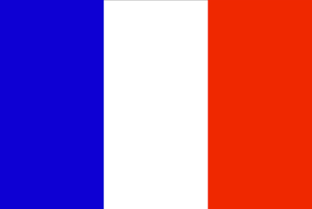
flaglink
maplink
frnew.gif
outlinemaplink
fr.gif
maincities
Lyon, Marseille, Lille, Toulouse, Nice, Strasbourg, Nantes, Bordeaux
largestcity
Paris
largestcitypopulation
9 523 000
rankpopulation
20
Population
60 561 200
rankgdp
5
gdp
1757613000000
rankgdpppp
6
gdpppp
1654018000000
rankgni
5
gni
1521613000000
rankincomeorigin
23
rankincome
18
income
24730
rankincomeppp
22
incomeppp
27640
lifeexpectation
79.3
alphabetizationrate
1
mortalityrateinfantile
0.0043
precipitation
650
nationalevent
Bastille Day
nationaleventfr
Jour de la prise de la Bastille
nationalholiday
14 July (1789)
Birthday yyyy-mm-dd
1789-07-14 00:00:00
6
10
president
SARKOZY Nicolas
location
Western Europe, bordering the Bay of Biscay and English Channel, between Belgium and Spain, southeast of the UK; bordering the Mediterranean Sea, between Italy and Spain
terrain
mostly flat plains or gently rolling hills in north and west; remainder is mountainous, especially Pyrenees in south, Alps in east
naturalresources
coal, iron ore, bauxite, zinc, potash, timber, fis
cooking
Champagne, Vins, Rôti, Frites.
phoneinputmask
CC CC CC CC CC CC CC CC CC CC CCCCCCCCCCCCCCCCCCCCCCCCC;;_
1
Web
rgbback
16777215
todate
1
Notes
Champagne, Vins, Rôti, Frites.
Notre Coq de Terre est là pour réveiller la conscience de l'humanité, les droits de l'homme, l'International, … Oh combien de peuples du monde ont été réveillés pour adopter la Liberté, la Fraternité et l'Egalité ?