Countries/Territories
Updated 2021-01-12 18:58:56
The names of countries/territories of the world are taught in English and Chinese. This collection of precious dry lands that shares the whole mankind includes not only the world's independent countries, but also specific areas that are not a UNUnited Nations: We the peoples...A stronger UN for a better world. member. Please visit the table of male and female genders of country names in French.
Countries/locations Close
1
id
Country
Country
Early-demographic dividend
Country in French
Early-demographic dividend
countryucasefr
Early-demographic dividend
Country in Chinese
Country in Spanish
Early-demographic dividend
Country in Italian
Early-demographic dividend
Country in Portuguese
Early-demographic dividend
Country in Germain
Early-demographic dividend
ISO2
EAR
ISO3
EAR
todate
1
2
id
Country
Country
East Asia & Pacific
Country in French
East Asia & Pacific
countryucasefr
East Asia & Pacific
Country in Chinese
Country in Spanish
East Asia & Pacific
Country in Italian
East Asia & Pacific
Country in Portuguese
East Asia & Pacific
Country in Germain
East Asia & Pacific
ISO2
EAS
ISO3
EAS
todate
1
3
id
Country
Country
East Asia & Pacific (excluding high income)
Country in French
East Asia & Pacific (excluding high income)
countryucasefr
East Asia & Pacific (excluding high income)
Country in Chinese
Country in Spanish
East Asia & Pacific (excluding high income)
Country in Italian
East Asia & Pacific (excluding high income)
Country in Portuguese
East Asia & Pacific (excluding high income)
Country in Germain
East Asia & Pacific (excluding high income)
ISO2
EAP
ISO3
EAP
todate
1
4
id
Country
Country
East Asia & Pacific (IDA & IBRD countries)
Country in French
East Asia & Pacific (IDA & IBRD countries)
countryucasefr
East Asia & Pacific (IDA & IBRD countries)
Country in Chinese
Country in Spanish
East Asia & Pacific (IDA & IBRD countries)
Country in Italian
East Asia & Pacific (IDA & IBRD countries)
Country in Portuguese
East Asia & Pacific (IDA & IBRD countries)
Country in Germain
East Asia & Pacific (IDA & IBRD countries)
ISO2
TEA
ISO3
TEA
todate
1
5
id
Country
Country
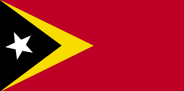
East Timor
Country in French
Timor Oriental
countryucasefr
TIMOR ORIENTAL
Country in Chinese
Country in Spanish
Timor (Del este)
Country in Italian
Timor (Orientale)
Country in Portuguese
Timor (Oriental)
Country in Germain
Timor (Östlich)
countrypy
dong1 di4 wen4
countrylocal
Timor
countryfull
East Timor
countrynm
East Timor
ISO2
TL
ISO3
TLS
countrycodeisono
626
countrycodeolympic
TLS
countrycodeirs
TL
countrycodeirsfr
TL
countrycodeirsmixt
TOL
♂Male
15
6
114
languagesfr
Portugais
51
currency
rupiah
currencyfr
Escudo de Timor
currencyisocode
IDR
currencyisocodefull
IDR 360
currencypxcode
IDR
currencysymbol
Rp
currencysubdivision
100 sen (no longer used)
currencyregime
m.float
currencyvalue
0.0001
Capital
Dili
capitalfr
Dili
Phone Prefix
670
Area km2
18 997
coastline
706
summit
Tata Mailau 2 960 m.
boundarycountries
Indonésie.
timezonedeltabegin
7
timezonedeltaend
9
flaglink
maplink
etimorcl.gif
visapassenger
-1
maincities
Ocussi, Manatuto, Ermera, Viqueque, Same, Ainaro, Maliana, Suai, Baucau.
largestcity
Dili
rankpopulation
152
Population
877 000
rankgdp
173
gdp
341000000
rankgni
194
gni
372000000
rankincomeorigin
167
rankincome
181
income
460
lifeexpectation
65.2
alphabetizationrate
0.48
natalityrate
0.02775
mortalityrate
0.00641
mortalityrateinfantile
0.05047
nationalevent
Independence Day
nationaleventfr
Jour de l'Indépendance
nationalholiday
28 November (1975)
Birthday yyyy-mm-dd
1975-11-28 00:00:00
2
4
location
Southeastern Asia, northwest of Australia in the Lesser Sunda Islands at the eastern end of the Indonesian archipelago; note - East Timor includes the eastern half of the island of Timor, the Oecussi (Ambeno) region on the northwest portion of the island
terrain
mountainous
naturalresources
gold, petroleum, natural gas, manganese, marble
9
rgbback
16777215
todate
1
6
id
Country
Country
Eastern and Central Europe
Country in French
Pays Europe centrale et orientale
countryucasefr
Pays Europe centrale et orientale
Country in Chinese
countryfull
Pays Europe centrale et orientale
countrynm
Pays Europe centrale et orientale
ISO2
PECO
ISO3
PECO
♂Male
7
rgbback
16777215
todate
1
7
id
Country
Country
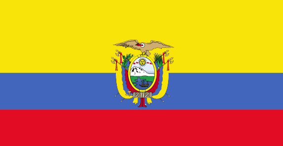
Ecuador
Country in French
Equateur
countryucasefr
EQUATEUR
Country in Chinese
Country in Spanish
Ecuador
Country in Italian
L'Ecuador
Country in Portuguese
Equador
Country in Germain
Ecuador
countrypy
e4 gua1 duo1 er3
countrylocal
Ecuador
countryfull
Ecuador
countrynm
Ecuador
ISO2
EC
ISO3
ECU
countrycodeisono
218
countrycodevehicle
EC
countrycodeolympic
ECU
countrycodeirs
EC
countrycodeirsfr
EC
countrycodeirsmixt
EC
countrycode
593
♂Male
15
6
131
languagesfr
Espagnol
6
currency
dollar
currencyfr
dollar
currencyisocode
USD
currencyisocodefull
USD 840
currencypxcode
USD
currencysymbol
$
currencysubdivision
100 cents
currencyregime
float
currencyvalue
1
nationalityfr
Equatorienne
Capital
Quito
capitalfr
Quito
Phone Prefix
593
Area km2
283 561
arealand
276 840
areawater
6 720
landarablerate
0.0569
landforestrate
0.381
coastline
2237
summit
Chimborazo 6 267 m.
boundarycountries
Colombie, Pérou.
timezonedeltabegin
-5
flaglink
maplink
eccolor.gif
outlinemaplink
ec.gif
visapassenger
-1
maincities
Guayaquil, Cuenca, Machala, Portoviejo, Riobamba, Ambato, Manta, Esmeraldas.
largestcity
Guayaquil
largestcitypopulation
1 831 000
rankpopulation
63
Population
13 008 000
rankgdp
63
gdp
27201000000
rankgdpppp
69
gdpppp
47362000000
rankgni
66
gni
23772000000
rankincomeorigin
117
rankincome
128
income
1830
rankincomeppp
137
incomeppp
3440
lifeexpectation
71.89
alphabetizationrate
0.8975
natalityrate
0.02494
mortalityrate
0.00529
mortalityrateinfantile
0.03197
hdi
0.732
precipitation
1026
nationalevent
Independence Day (independence of Quito)
nationaleventfr
Jour de l'Indépendance (indépendance de Quito)
nationalholiday
10 August (1809)
Birthday yyyy-mm-dd
1809-08-10 00:00:00
6
6
location
Western South America, bordering the Pacific Ocean at the Equator, between Colombia and Peru
terrain
coastal plain (costa), inter-Andean central highlands (sierra), and flat to rolling eastern jungle (oriente)
naturalresources
petroleum, fish, timber, hydropower
cooking
Fruits de Mer
9
Web
rgbback
16777215
todate
1
Notes
Fruits de Mer
8
id
Country
Country
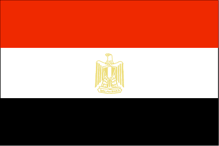
Egypt
Country in French
Egypte
countryucasefr
EGYPTE
Country in Chinese
Country in Spanish
Egipto
Country in Italian
L'Egitto
Country in Portuguese
Egipto
Country in Germain
Ägypten
countrypy
ai1 ji2
countrylocal
Misr
countryfull
Egypt
countrynm
Egypt
ISO2
EG
ISO3
EGY
countrycodeisono
818
countrycodevehicle
ET
countrycodeolympic
EGY
countrycodeirs
EG
countrycodeirsfr
EG
countrycodeirsmixt
EG
countrycode
20
♀Female
15
4
3
languagesfr
Arabe
36
currency
pound
currencyfr
livre égyptienne
currencyisocode
EGP
currencyisocodefull
EGP 818
currencypxcode
EGP
currencysymbol
£E
currencysubdivision
100 piasters or 1,000 milliemes
currencyregime
m.float
currencyvalue
0.173
nationalityfr
Egyptienne
Capital
Cairo
capitalfr
Le Caire
Phone Prefix
20
Area km2
1 001 449
arealand
995 450
areawater
6 000
landarablerate
0.0285
landforestrate
0.001
coastline
2450
summit
Jabal Katrînah 2 642 m
boundarycountries
Libye, Israël, Palestine, Soudan.
timezonedeltabegin
2
flaglink
maplink
egcolor.gif
outlinemaplink
egout.gif
visapassenger
-1
maincities
Alexandrie, Ismaïlia, Gîza, Port Saïd, Assiout, Helwân, Tanta, El Mahlla el Kubra, Zagazig, El Mansoura, Suez, Assouan.
largestcity
Cairo
largestcitypopulation
9 690 000
rankpopulation
17
Population
67 559 000
rankgdp
42
gdp
82427000000
rankgdpppp
29
gdpppp
266853000000
rankgni
38
gni
93850000000
rankincomeorigin
126
rankincome
138
income
1390
rankincomeppp
132
incomeppp
3940
lifeexpectation
70.41
alphabetizationrate
0.484
natalityrate
0.02436
mortalityrate
0.00535
mortalityrateinfantile
0.03526
nationalevent
Revolution Day
nationaleventfr
Jour de le Révolution
nationalholiday
23 July (1952)
Birthday yyyy-mm-dd
1952-07-23 00:00:00
9
5
location
Northern Africa, bordering the Mediterranean Sea, between Libya and the Gaza Strip, and the Red Sea north of Sudan, and includes the Asian Sinai Peninsula
terrain
vast desert plateau interrupted by Nile valley and delta
naturalresources
petroleum, natural gas, iron ore, phosphates, mang
9
Web
rgbback
16777215
todate
1
9
id
Country
Country
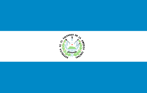
El Salvador
Country in French
El Salvador
countryucasefr
EL SALVADOR
Country in Chinese
Country in Spanish
Salvador De EL
Country in Italian
Salvador Di EL
Country in Portuguese
Salvador De EL
Country in Germain
EL-Salvador
countrypy
sa4 er3 wa3 duo1
countrylocal
El Salvador
countryfull
El Salvador
countrynm
El Salvador
ISO2
SV
ISO3
SLV
countrycodeisono
222
countrycodevehicle
ES
countrycodeolympic
ESA
countrycodeirs
EL
countrycodeirsfr
EL
countrycodeirsmixt
EL
countrycode
503
♂Male
15
6
131
languagesfr
Espagnol
37
currency
colon
currencyfr
colon
currencyisocode
SVC
currencyisocodefull
SVC 222
currencypxcode
SVC
currencysymbol
¢
currencysubdivision
100 centavos
currencyregime
float
currencyvalue
0.1143
nationalityfr
Salvadorienne
Capital
San Salvador
capitalfr
San Salvador
Phone Prefix
503
Area km2
21 041
arealand
20 720
areawater
320
landarablerate
0.2727
landforestrate
0.058
coastline
307
summit
Cerro El Pital 2 730 m.
boundarycountries
Guatémala, Honduras.
timezonedeltabegin
-6
flaglink
maplink
svcolor.gif
outlinemaplink
svoutl.gif
visapassenger
-1
maincities
Santa Ana, San Miguel, Nueva San Salvador, Sonsonate, Cojutepeque.
largestcity
San Salvador
largestcitypopulation
1 214 000
rankpopulation
97
Population
6 533 000
rankgdp
81
gdp
14879000000
rankgdpppp
83
gdpppp
31237000000
rankgni
82
gni
15282000000
rankincomeorigin
100
rankincome
110
income
2340
rankincomeppp
122
incomeppp
4910
lifeexpectation
70.92
alphabetizationrate
0.798
natalityrate
0.02748
mortalityrate
0.00593
mortalityrateinfantile
0.02593
hdi
0.729
urbanization
0.615
nationalevent
Independence Day
nationaleventfr
Jour de l'Indépendance
nationalholiday
15 September (1821)
Birthday yyyy-mm-dd
1821-09-15 00:00:00
8
6
location
Middle America, bordering the North Pacific Ocean, between Guatemala and Honduras
terrain
mostly mountains with narrow coastal belt and central plateau
naturalresources
hydropower, geothermal power, petroleum, arable la
9
Web
rgbback
16777215
todate
1
10
id
Country
Country
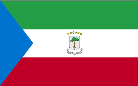
Equatorial Guinea
Country in French
Guinée équatoriale
countryucasefr
GUINEE EQUATORIALE
Country in Chinese
Country in Spanish
Guinea Ecuatorial
Country in Italian
Guinea Equatoriale
Country in Portuguese
Guinea Equatorial
Country in Germain
Äquatoriale Guine
countrypy
chi4 dao4 ji3 nei4 ya4
countrylocal
Guinea Ecuatorial
countryfull
Equatorial Guinea
countrynm
Equatorial Guinea
ISO2
GQ
ISO3
GNQ
countrycodeisono
226
countrycodeolympic
GEQ
countrycodeirs
EK
countrycodeirsfr
EK
countrycodeirsmixt
EK
♀Female
15
4
131
languagesfr
Espagnol
119
currency
franc
currencyfr
franc C.F.A.
currencyisocode
GQE
currencyisocodefull
GQE 226
currencypxcode
GQE
currencysymbol
CFAF
currencysubdivision
100 centimos
currencyregime
Euro (655.957)
nationalityfr
Guinéenne
Capital
Malabo
capitalfr
Malabo
Phone Prefix
240
Area km2
28 051
arealand
28 051
landarablerate
0.0463
landforestrate
0.625
coastline
296
summit
Pico de Santa Isabel 3 008 m.
boundarycountries
Cameroun, Gabon.
timezonedeltabegin
1
flaglink
maplink
gqcolor.gif
outlinemaplink
gqout.gif
visapassenger
-1
maincities
Bata, Luba, Mbini, Evinayong, Ebebiyin, Mongono.
largestcity
Malabo
largestcitypopulation
30 000
rankpopulation
161
Population
494 000
rankgdp
135
gdp
2915000000
rankgdpppp
128
gdpppp
8988000000
rankgni
195
gni
327000000
rankincomeorigin
150
rankincome
165
income
700
rankincomeppp
116
incomeppp
5100
lifeexpectation
55.15
alphabetizationrate
0.85
natalityrate
0.03656
mortalityrate
0.01227
mortalityrateinfantile
0.08708
hdi
0.664
urbanization
0.493
nationalevent
Independence Day
nationaleventfr
Jour de l'Indépendance
nationalholiday
12 October (1968)
Birthday yyyy-mm-dd
1968-10-12 00:00:00
5
9
location
Western Africa, bordering the Bight of Biafra, between Cameroon and Gabon
terrain
coastal plains rise to interior hills; islands are volcanic
naturalresources
oil, petroleum, timber, small unexploited deposits
9
Web
rgbback
16777215
todate
1
| Countries/Territories | Regions of China | Provinces of China | Regions in France | French Departments | States/Provinces | Cities/Towns | Locations | World Continents | French AOP Wines
